
Colombo Street looking south towards Cathedral Square, taken from Armagh Street.

748 Colombo Street, between Armagh Street and Gloucester Street.

An infographic comparing numbers of injuries seen at Christchurch hospitals following the 22 February 2011 earthquake.

A table giving statistics on injuries in the 4 September 2010 and 22 February 2011 earthquakes.

A graphic giving information about memorial services marking the anniversary of the 22 February 2011 earthquake.

One landscape colour digital photograph taken on 3 March 2011 showing earthquake damage to the Lyttelton Times Building on Gladstone Quay. Also visible on the left of the photograph is the side of the adjoining British Hotel. Three years after the 2010-2011 earthquakes there are still many uncertainties about which buildings can or will be ret...

An infographic listing buildings where failure resulted in loss of life in the 22 February 2011 earthquake.

An incomplete map showing the epicentre of the 22 February 2011 earthquake and damage in Mount Pleasant.

A graphic listing the 14 people who died in the collapse of unreinforced buildings in the 22 February 2011 earthquake.

None

None

None

None

None

None

Manchester Street looking south towards the Port Hills, near the corner of Gloucester Street.

Photograph captioned by Fairfax, "Queuing for water following the February 22nd earthquake in Christchurch".

Photograph captioned by Fairfax, "Damage from the February 22nd earthquake in Christchurch. CTV Building".

Photograph captioned by Fairfax, "Damage from the February 22nd earthquake in Christchurch. Sumner RSA".

Photograph captioned by Fairfax, "Damage from the February 22nd earthquake in Christchurch. Sumner RSA".

Photograph captioned by Fairfax, "Damage from the February 22nd earthquake in Christchurch. Sumner RSA".
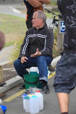
Photograph captioned by Fairfax, "Queuing for water following the February 22nd earthquake in Christchurch".

Photograph captioned by Fairfax, "Queuing for water following the February 22nd earthquake in Christchurch".

Photograph captioned by Fairfax, "Queuing for water following the February 22nd earthquake in Christchurch".

An aerial view of Christchurch a week after the 22 February 2011 earthquake. The CTV site can be seen.

An aerial view of Christchurch a week after the 22 February 2011 earthquake. The Knox Church can be seen.

An aerial view of Christchurch a week after the 22 February 2011 earthquake. Christ Church Cathedral can be seen.

One portrait colour digital photograph taken on 25 February 2011 showing earthquake damage to the Catholic Church of St Joseph the Worker in Winchester Street Lyttelton. Photograph shows the main doors and roof at southern end of church. Nineteenth century stone buildings are particularly vulnerable to earthquake damage as the individual compon...

A map showing the extent of liquefaction after the 4 September 2010 and 22 February 2011 earthquakes.

A map showing the location of Christchurch Hospital parking spaces lost following the 22 February 2011 earthquake.