
Photograph captioned by BeckerFraserPhotos, "12 Waygreen Avenue".

Photograph captioned by BeckerFraserPhotos, "Lyttelton container port".

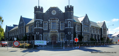
Photograph captioned by BeckerFraserPhotos, "378 Worcester Street".

Photograph captioned by BeckerFraserPhotos, "10 Bedford Row".

Photograph captioned by BeckerFraserPhotos, "161 Tuam Street".

An infographic charting aftershocks for 12 hours between 15 and 16 September.

Photograph captioned by BeckerFraserPhotos, "658 Colombo Street".

Photograph captioned by BeckerFraserPhotos, "146 Cashel Street".

Photograph captioned by BeckerFraserPhotos, "212 Cashel Street".

Photograph captioned by BeckerFraserPhotos, "Bracken Street".

Photograph captioned by BeckerFraserPhotos, "218 Cashel Street".

A special liftout for schools, on earthquake causes and effects.

Photograph captioned by BeckerFraserPhotos, "Galbraith Avenue".

Photograph captioned by BeckerFraserPhotos, "Galbraith Avenue".

Photograph captioned by BeckerFraserPhotos, "Robson Avenue".

Photograph captioned by BeckerFraserPhotos, "Acland Avenue".

Photograph captioned by BeckerFraserPhotos, "6 Waygreen Avenue".

Photograph captioned by BeckerFraserPhotos, "4 Waygreen Avenue".

Photograph captioned by BeckerFraserPhotos, "163 Manchester Street".

Photograph captioned by BeckerFraserPhotos, "128 Manchester Street".
The damaged Peterborough Centre, surrounded by fences.

A photograph of a collapsed brick chimney.

A photograph of a line of campervans in Hagley Park.

A photograph of liquefaction in a residential garden.

A photograph of a Christchurch Earthquake Appeal sign that reads, "Tomorrow Starts Here".
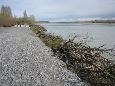
A photograph of the Waimakariri River.
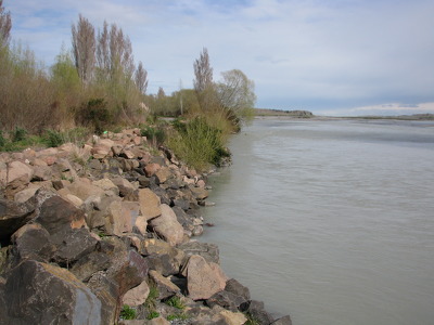
A photograph of the Waimakariri River.

A photograph of a cordoned-off building on Armagh Street.

A photograph of lifted tiles at the University of Canterbury.

A photograph of cracks and liquefaction in a carpark at Bexley Park.