
A flow chart depicting potential hazards earthquakes pose to coastal geography.

Earthquake rubbish dump at Bottlelake Forest.
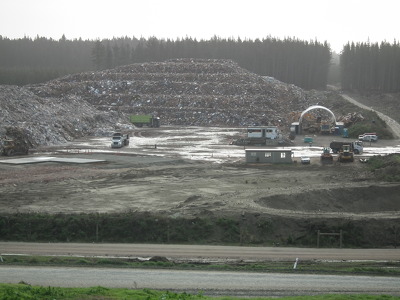
Earthquake rubbish dump at Bottlelake Forest.

A map of earthquake events in Canterbury.

Information board and hazard notices for the Riccarton House earthquake repairs and strengthening project.

A map of Canterbury Earthquake Recovery Authority residential zones in Christchurch.

Liquefaction In Brooklands.

Damaged road in Brooklands.

Infrastructure damage in Lyttelton.

Infrastructure damage in Lyttelton.
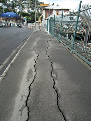
Damaged footpath in Lyttelton.
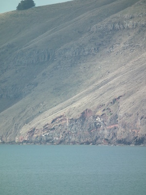
Landslides around Lytteton Harbour.

Landslides around Lytteton Harbour.

Rock falls in redcliffs.
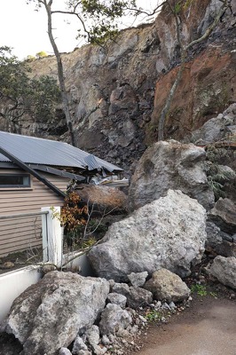
Rock falls in redcliffs.

Rock falls in redcliffs.

New Bridge in Ferrymead.

Infrastructure damage in Lyttelton.

Damaged footpath in Lyttelton.

Infrastructure damage in Lyttelton.

Infrastructure damage in Lyttelton.

Collapse of Shag Rock.

Infrastructure damage in Lyttelton.

A truck dumps rubbish.

Liquefaction flooding in Travis Country.

Damage to New Brighton Bridge.

Damage to New Brighton Bridge.
Stopbanks around the lower Avon River.

Erosion scarp along North New Brighton Beach.

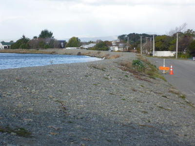
Damaged road around the Avon-Heathcote Estuary.