Becker Fraser Earthquake Photographs
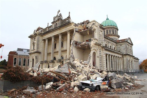
We've recently completed a major project to store photographs of the Christchurch red zone taken by Ross Becker of BeckerFraserPhotos in the UC QuakeStudies repository. For some time CEISMIC has presented more than 5000 of these images via the BeckerFraserPhotos Picasa website. However, as a long-term home for these images, a better solution was needed.
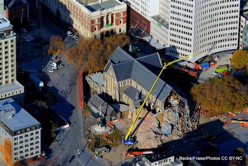
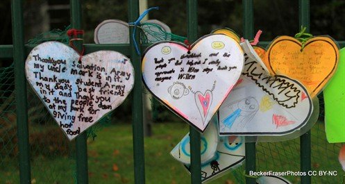
Copies have been deposited with the National Library, but it was found that UC QuakeStudies offered an effective platform for making them publicly available. The images cover more than two and a half years, from September 2010 to May 2013 and include not just the central city red zone, but also photographs from the eastern suburbs, hills and Lyttelton, and aerial photographs of the ever-changing city.
As part of the process of transferring the images from Picasa, a further 6000 photographs were added, and Ross Becker and Moira Fraser have collaborated with the UC CEISMIC team to improve the descriptions and add additional metadata to the images. Many hours of work has gone into checking and confirming the accuracy of the metadata, and due to the meticulous process followed by the photographers, almost every image has recorded geo-coordinates, which will enable a map view of the collection to be created in future.


