Aerial Videos of Christchurch
We are excited to announce that a collection of aerial videos and photographs of the Christchurch CBD red zone is now available in ceismic.org.nz. These were taken by GPS Boomerang, a Christchurch-based company which develops and manufactures unmanned aerial vehicles (UAV) used to collect and recover aerial data.
The founder and director, Synco Reynders, mapped a path over the red zone for his Smart Bird UAV, capturing aerial footage on 5 June 2012, 7 June 2012 and 23 December 2012. He plans to revisit this path every half year to capture Christchurch's changing environment and the rebuild of the central city.
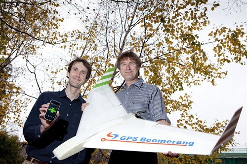 UC CEISMIC Office Manager Chris Thomson with Synco Reynders and the SmartBird UAV
The SmartBird was designed and built by Synco. It specialises in low altitude aerial photography and is intended to be used in agriculture for crop monitoring. It is controlled by an android smart phone, and flies a user-defined route called a flight plan. The flight plan consists of a list of GPS locations called waypoints which Synco plots into the phone, defining the path to be flown. This means that it can make accurate repeat journeys over the same path, recording the changes in the landscape below.
Recording tours of the red zone was a no brainer for Synco. "You can see things from the air that you can't see from the ground, especially the red zone," he says.
He has also recorded tours of Lyttelton, Sumner and New Brighton, which he intends to donate to the archive. "It is interesting what you can and can't see. Damaged buildings and cordons are hard to see from the sky. The damage on a building is often noticeable from the street or inside, but not from a roof. A cordon fence is just a thin line, but in the New Brighton video you can still see liquefaction on the streets."
And for those of you who are wondering, there is little chance that the plane will hit anything. "The chances of it hitting [another aircraft] are a billion to one," says Synco. Everything is predetermined. The path is checked as well as the weather, the terrain, building heights and Civil Aviation regulations before the flight plan is approved.